
Santee topographic map
Interactive map
Click on the map to display elevation.
About this map
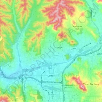
Name: Santee topographic map, elevation, terrain.
Location: Santee, San Diego County, California, United States (32.81563 -117.03840 32.90347 -116.93808)
Average elevation: 172 m
Minimum elevation: 90 m
Maximum elevation: 364 m