
ʻAtā topographic map
Interactive map
Click on the map to display elevation.
About this map
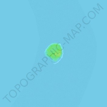
Name: ʻAtā topographic map, elevation, terrain.
Location: ʻAtā, Tongatapu, Tonga (-21.05891 -175.00510 -21.05368 -174.99964)
Average elevation: 0 m
Minimum elevation: 0 m
Maximum elevation: 13 m