
38 topographic map
Interactive map
Click on the map to display elevation.
About this map
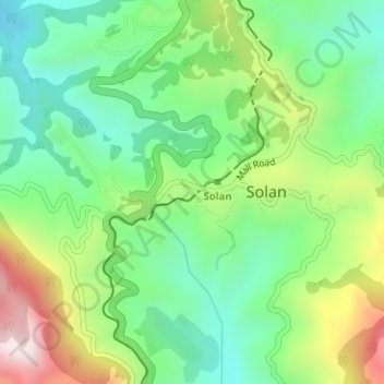
Name: 38 topographic map, elevation, terrain.
Location: 38, sunny side path, Solan, Himachal Pradesh, India (30.90725 77.09622 30.90815 77.09731)
Average elevation: 1,486 m
Minimum elevation: 1,289 m
Maximum elevation: 1,843 m