
Carmanah Walbran Provincial Park topographic map
Interactive map
Click on the map to display elevation.
About this map
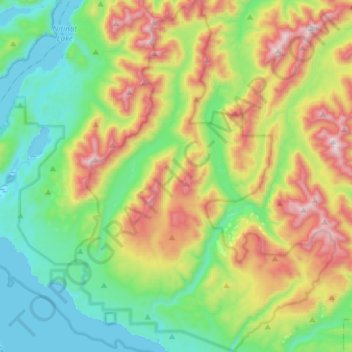
Name: Carmanah Walbran Provincial Park topographic map, elevation, terrain.
Average elevation: 365 m
Minimum elevation: -5 m
Maximum elevation: 1,096 m
British Columbia trails, hiking, mountain biking, running and outdoor activities
Other topographic maps
Click on a map to view its topography, its elevation and its terrain.
Josiah Creek
Canada > British Columbia > Area F (Cowichan Lake South / Skutz Falls)
Average elevation: 220 m