
Terre Haute topographic map
Interactive map
Click on the map to display elevation.
About this map
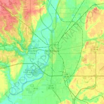
Name: Terre Haute topographic map, elevation, terrain.
Location: Terre Haute, Vigo County, Indiana, United States (39.40153 -87.46972 39.52870 -87.27692)
Average elevation: 159 m
Minimum elevation: 133 m
Maximum elevation: 197 m