
Sandy Hook topographic map
Interactive map
Click on the map to display elevation.
About this map
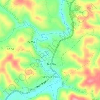
Name: Sandy Hook topographic map, elevation, terrain.
Location: Sandy Hook, Elliott County, Kentucky, United States (38.07983 -83.13701 38.10848 -83.11043)
Average elevation: 261 m
Minimum elevation: 207 m
Maximum elevation: 327 m