
Rose Valley topographic map
Interactive map
Click on the map to display elevation.
About this map
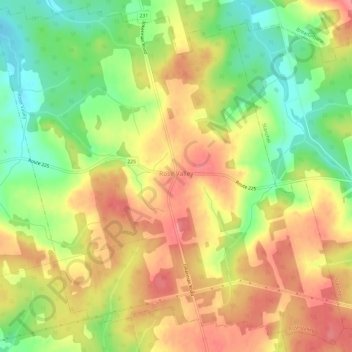
Name: Rose Valley topographic map, elevation, terrain.
Location: Rose Valley, Queens County, Prince Edward Island, Canada (46.30048 -63.52653 46.34009 -63.46692)
Average elevation: 92 m
Minimum elevation: 45 m
Maximum elevation: 132 m