
Flower Mound topographic map
Interactive map
Click on the map to display elevation.
About this map
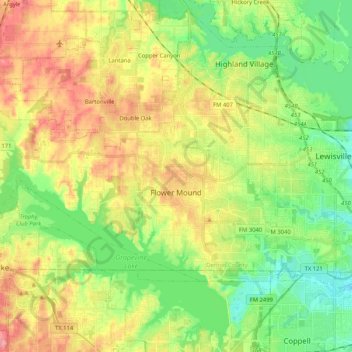
Name: Flower Mound topographic map, elevation, terrain.
Location: Flower Mound, Denton County, Texas, United States of America (32.98143 -97.23437 33.09142 -97.02768)
Average elevation: 178 m
Minimum elevation: 137 m
Maximum elevation: 232 m