
Narathiwat topographic map
Interactive map
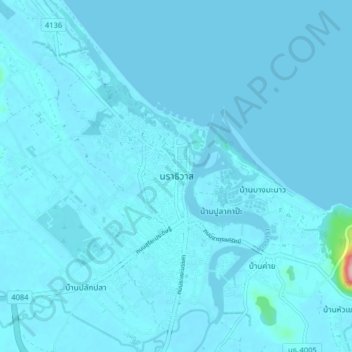
Click on the map to display elevation.
About this map
Name: Narathiwat topographic map, elevation, terrain.
Location: Narathiwat, Kaluwo Nuea, Narathiwat Province, 96000, Thailand (6.39504 101.78289 6.47504 101.86289)
Average elevation: 5 m
Minimum elevation: -5 m
Maximum elevation: 179 m
Other topographic maps
Click on a map to view its topography, its elevation and its terrain.
Narathiwat Province
Thailand > Narathiwat Province
Narathiwat Province, Thailand
Average elevation: 84 m