
Pend Oreille River topographic map
Interactive map
Click on the map to display elevation.
About this map
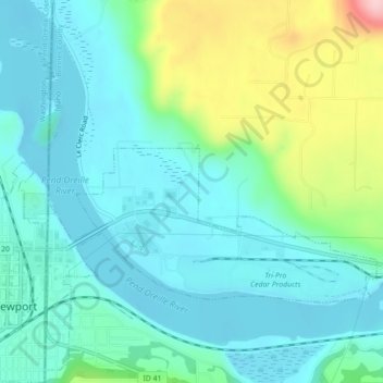
Name: Pend Oreille River topographic map, elevation, terrain.
Location: Pend Oreille River, Bonner County, Idaho, 83822, USA (48.17703 -117.03894 48.19979 -116.99477)
Average elevation: 664 m
Minimum elevation: 618 m
Maximum elevation: 814 m