
Norwood topographic map
Interactive map
Click on the map to display elevation.
About this map
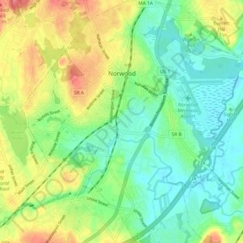
Name: Norwood topographic map, elevation, terrain.
Location: Norwood, Norfolk County, Massachusetts, USA (42.14988 -71.23816 42.21373 -71.15488)
Average elevation: 37 m
Minimum elevation: 8 m
Maximum elevation: 87 m