
Sumas Mountain topographic map
Interactive map
Click on the map to display elevation.
About this map
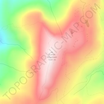
Name: Sumas Mountain topographic map, elevation, terrain.
Location: Sumas Mountain, Whatcom County, Washington, USA (48.91174 -122.22215 48.91184 -122.22205)
Average elevation: 782 m
Minimum elevation: 400 m
Maximum elevation: 1,043 m
Other topographic maps
Click on a map to view its topography, its elevation and its terrain.