
Glace topographic map
Interactive map
Click on the map to display elevation.
About this map
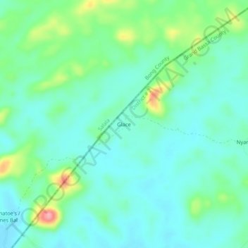
Name: Glace topographic map, elevation, terrain.
Location: Glace, District # 2, Grand Bassa County, Liberia (6.68684 -9.84197 6.72684 -9.80197)
Average elevation: 223 m
Minimum elevation: 196 m
Maximum elevation: 306 m