
Loring topographic map
Interactive map
Click on the map to display elevation.
About this map
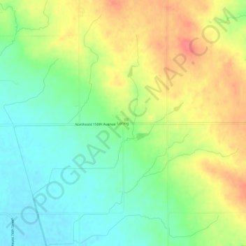
Name: Loring topographic map, elevation, terrain.
Location: Loring, Polk County, Iowa, 50161, United States of America (41.81471 -93.45521 41.85471 -93.41521)
Average elevation: 278 m
Minimum elevation: 250 m
Maximum elevation: 312 m