
Beirut topographic map
Interactive map
Click on the map to display elevation.
About this map
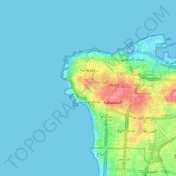
Name: Beirut topographic map, elevation, terrain.
Location: Beirut, Beirut Governorate, Lebanon (33.86233 35.46681 33.91611 35.54258)
Average elevation: 19 m
Minimum elevation: -1 m
Maximum elevation: 115 m
Other topographic maps
Click on a map to view its topography, its elevation and its terrain.
Manara
Lebanon > Beirut Governorate > Beirut
Manara, Ras Beirut, Beirut, Beirut Governorate, 2030, Lebanon
Average elevation: 22 m