
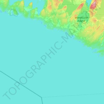
Central Manitoulin topographic map
Interactive map
Click on the map to display elevation.
About this map
Name: Central Manitoulin topographic map, elevation, terrain.
Location: Central Manitoulin, Manitoulin District, Ontario, Canada (45.50016 -82.42905 45.82339 -81.96235)
Average elevation: 196 m
Minimum elevation: 172 m
Maximum elevation: 314 m
Other topographic maps
Click on a map to view its topography, its elevation and its terrain.
Carter Bay
Canada > Ontario > Central Manitoulin
Carter Bay, Central Manitoulin, Manitoulin District, Northeastern Ontario, Ontario, Canada
Average elevation: 179 m