
Peak topographic map
Interactive map
Click on the map to display elevation.
About this map
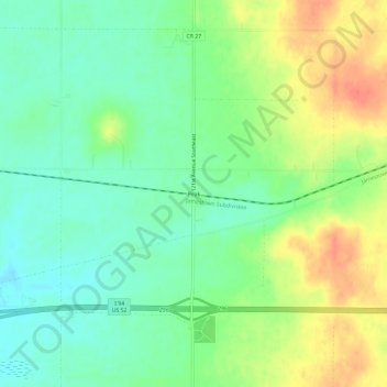
Name: Peak topographic map, elevation, terrain.
Location: Peak, Barnes County, North Dakota, USA (46.91220 -97.93316 46.95220 -97.89316)
Average elevation: 433 m
Minimum elevation: 412 m
Maximum elevation: 464 m