
Allagash topographic map
Interactive map
Click on the map to display elevation.
About this map
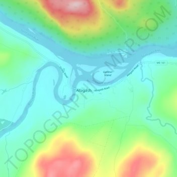
Name: Allagash topographic map, elevation, terrain.
Location: Allagash, Aroostook County, Maine, United States (47.06337 -69.06115 47.10337 -69.02115)
Average elevation: 247 m
Minimum elevation: 171 m
Maximum elevation: 427 m