
Saint Georges topographic map
Interactive map
Click on the map to display elevation.
About this map
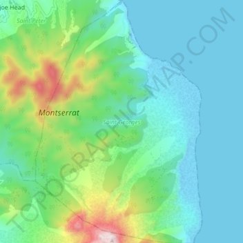
Name: Saint Georges topographic map, elevation, terrain.
Location: Saint Georges, Montserrat (16.71059 -62.19878 16.78256 -62.14724)
Average elevation: 204 m
Minimum elevation: -8 m
Maximum elevation: 902 m