
Charcas topographic map
Interactive map
Click on the map to display elevation.
About this map
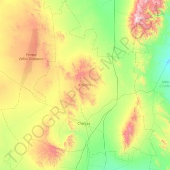
Name: Charcas topographic map, elevation, terrain.
Location: Charcas, San Luis Potosi, Mexico (22.95709 -101.44675 23.58486 -100.82265)
Average elevation: 2,119 m
Minimum elevation: 1,644 m
Maximum elevation: 3,076 m