
Bull River topographic map
Interactive map
Click on the map to display elevation.
About this map
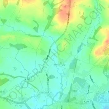
Name: Bull River topographic map, elevation, terrain.
Average elevation: 27 m
Minimum elevation: 11 m
Maximum elevation: 55 m
Other topographic maps
Click on a map to view its topography, its elevation and its terrain.
Heathfield and Waldron
United Kingdom > England > Wealden
Heathfield and Waldron, Wealden, East Sussex, South East, England, United Kingdom
Average elevation: 92 m