
Trebišov topographic map
Interactive map
Click on the map to display elevation.
About this map
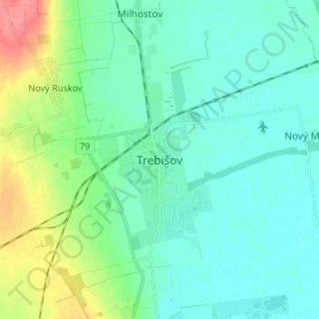
Name: Trebišov topographic map, elevation, terrain.
Location: Trebišov, Region of Košice, Eastern Slovakia, 075 01, Slovakia (48.58862 21.68017 48.66862 21.76017)
Average elevation: 113 m
Minimum elevation: 97 m
Maximum elevation: 168 m