
Gunung Arjuna topographic map
Interactive map
Click on the map to display elevation.
About this map
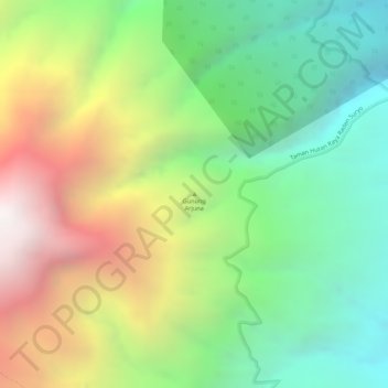
Name: Gunung Arjuna topographic map, elevation, terrain.
Location: Gunung Arjuna, Malang, East Java, Indonesia (-7.73735 112.62975 -7.73725 112.62985)
Average elevation: 1,578 m
Minimum elevation: 948 m
Maximum elevation: 2,422 m
Other topographic maps
Click on a map to view its topography, its elevation and its terrain.