
Haydon topographic map
Interactive map
Click on the map to display elevation.
About this map
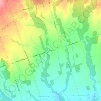
Name: Haydon topographic map, elevation, terrain.
Location: Haydon, Durham Region, Ontario, Canada (44.00056 -78.76776 44.04056 -78.72776)
Average elevation: 237 m
Minimum elevation: 189 m
Maximum elevation: 314 m