
Irrigon topographic map
Interactive map
Click on the map to display elevation.
About this map
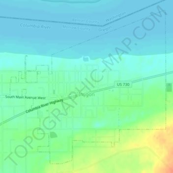
Name: Irrigon topographic map, elevation, terrain.
Location: Irrigon, Morrow County, Oregon, United States of America (45.88483 -119.50859 45.90885 -119.47363)
Average elevation: 91 m
Minimum elevation: 80 m
Maximum elevation: 120 m