
Burlington topographic map
Interactive map
Click on the map to display elevation.
About this map
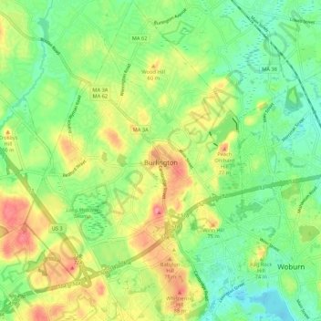
Name: Burlington topographic map, elevation, terrain.
Location: Burlington, Middlesex County, Massachusetts, USA (42.46584 -71.24091 42.54449 -71.16844)
Average elevation: 44 m
Minimum elevation: 11 m
Maximum elevation: 92 m