
Rice Lake topographic map
Interactive map
Click on the map to display elevation.
About this map
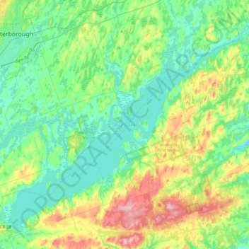
Name: Rice Lake topographic map, elevation, terrain.
Average elevation: 225 m
Minimum elevation: 177 m
Maximum elevation: 355 m
Northumberland County trails, hiking, mountain biking, running and outdoor activities
Other topographic maps
Click on a map to view its topography, its elevation and its terrain.
Camborne
Canada > Ontario > Northumberland County > Hamilton Township > Camborne
Average elevation: 196 m