
Langenegg topographic map
Interactive map
Click on the map to display elevation.
About this map
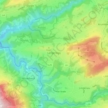
Name: Langenegg topographic map, elevation, terrain.
Location: Langenegg, Bregenz, Vorarlberg, 6941, Austria (47.45354 9.85427 47.48173 9.93593)
Average elevation: 682 m
Minimum elevation: 462 m
Maximum elevation: 1,119 m