
Mai Sơn topographic map
Interactive map
Click on the map to display elevation.
About this map
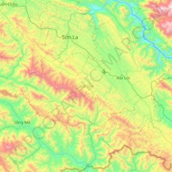
Name: Mai Sơn topographic map, elevation, terrain.
Location: Mai Sơn, Province de Sơn La, Viêt Nam (20.95822 103.69660 21.37855 104.29204)
Average elevation: 785 m
Minimum elevation: 109 m
Maximum elevation: 2,264 m