
Virden topographic map
Interactive map
Click on the map to display elevation.
About this map
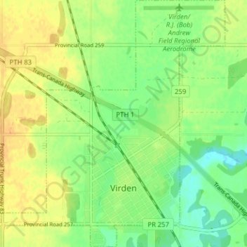
Name: Virden topographic map, elevation, terrain.
Location: Virden, Manitoba, R0M 2C0, Canada (49.83877 -100.96356 49.87943 -100.90626)
Average elevation: 444 m
Minimum elevation: 430 m
Maximum elevation: 456 m
Manitoba trails, hiking, mountain biking, running and outdoor activities