
Schulenburg topographic map
Interactive map
Click on the map to display elevation.
About this map
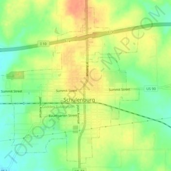
Name: Schulenburg topographic map, elevation, terrain.
Location: Schulenburg, Fayette County, Texas, United States (29.66654 -96.93156 29.69956 -96.88995)
Average elevation: 104 m
Minimum elevation: 82 m
Maximum elevation: 123 m