
Ortaköy topographic map
Interactive map
Click on the map to display elevation.
About this map
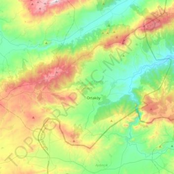
Name: Ortaköy topographic map, elevation, terrain.
Location: Ortaköy, Çorum, Black Sea Region, Turkey (40.19308 35.05149 40.38572 35.41044)
Average elevation: 942 m
Minimum elevation: 519 m
Maximum elevation: 1,796 m
Other topographic maps
Click on a map to view its topography, its elevation and its terrain.