
Kafranbel topographic map
Interactive map
Click on the map to display elevation.
About this map
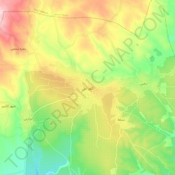
Name: Kafranbel topographic map, elevation, terrain.
Location: Kafranbel, Idlib, 11111, Syria (35.57414 36.52063 35.65414 36.60063)
Average elevation: 604 m
Minimum elevation: 473 m
Maximum elevation: 765 m