
Fort Whyte topographic map
Interactive map
Click on the map to display elevation.
About this map
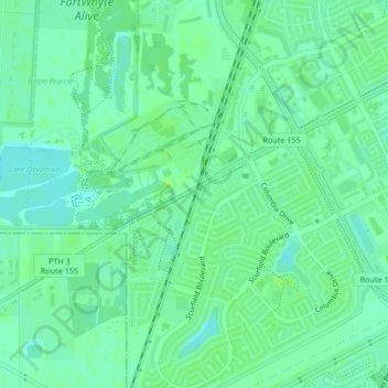
Name: Fort Whyte topographic map, elevation, terrain.
Location: Fort Whyte, Winnipeg, Manitoba, R3Y 0A1, Canada (49.80708 -97.22238 49.82708 -97.20238)
Average elevation: 235 m
Minimum elevation: 229 m
Maximum elevation: 240 m
Manitoba trails, hiking, mountain biking, running and outdoor activities
Other topographic maps
Click on a map to view its topography, its elevation and its terrain.