
Alban topographic map
Interactive map
Click on the map to display elevation.
About this map
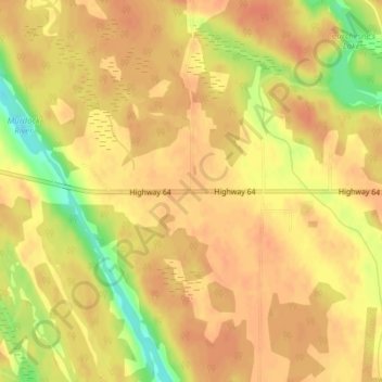
Name: Alban topographic map, elevation, terrain.
Location: Alban, French River, Sudbury District, Ontario, Canada (46.09472 -80.63630 46.11472 -80.61630)
Average elevation: 207 m
Minimum elevation: 176 m
Maximum elevation: 217 m
Ontario trails, hiking, mountain biking, running and outdoor activities
Other topographic maps
Click on a map to view its topography, its elevation and its terrain.