
Wolverine topographic map
Interactive map
Click on the map to display elevation.
About this map
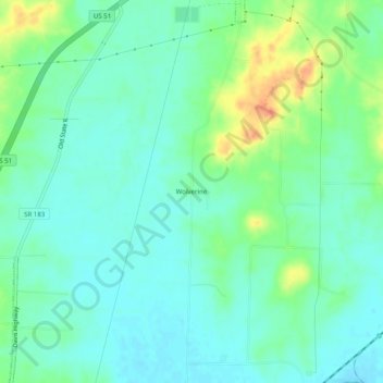
Name: Wolverine topographic map, elevation, terrain.
Location: Wolverine, Obion County, Tennessee, United States (36.28757 -89.18451 36.32757 -89.14451)
Average elevation: 102 m
Minimum elevation: 88 m
Maximum elevation: 137 m