
Mae Ramat topographic map
Interactive map
Click on the map to display elevation.
About this map
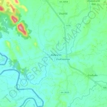
Name: Mae Ramat topographic map, elevation, terrain.
Location: Mae Ramat, Tak Province, Thailand (16.94424 98.47670 17.02424 98.55670)
Average elevation: 196 m
Minimum elevation: 155 m
Maximum elevation: 365 m