
Cherryvale topographic map
Interactive map
Click on the map to display elevation.
About this map
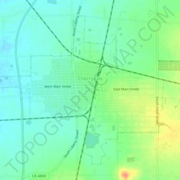
Name: Cherryvale topographic map, elevation, terrain.
Location: Cherryvale, Montgomery County, Kansas, 67335, United States (37.25454 -95.57630 37.28184 -95.53489)
Average elevation: 255 m
Minimum elevation: 240 m
Maximum elevation: 285 m