
Ajo topographic map
Interactive map
Click on the map to display elevation.
About this map
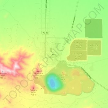
Name: Ajo topographic map, elevation, terrain.
Location: Ajo, Pima County, Arizona, 85321, United States of America (32.33719 -112.90457 32.41719 -112.82457)
Average elevation: 547 m
Minimum elevation: 274 m
Maximum elevation: 896 m