
Acheson topographic map
Interactive map
Click on the map to display elevation.
About this map
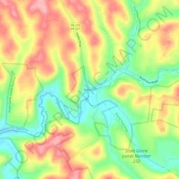
Name: Acheson topographic map, elevation, terrain.
Location: Acheson, Washington County, Pennsylvania, United States (40.17507 -80.47118 40.21507 -80.43118)
Average elevation: 325 m
Minimum elevation: 261 m
Maximum elevation: 390 m