
Buffalo Gap topographic map
Interactive map
Click on the map to display elevation.
About this map
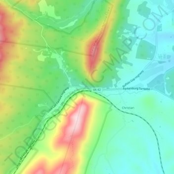
Name: Buffalo Gap topographic map, elevation, terrain.
Location: Buffalo Gap, Augusta County, Virginia, 24479, United States (38.16707 -79.25948 38.20707 -79.21948)
Average elevation: 596 m
Minimum elevation: 489 m
Maximum elevation: 802 m