
Karmakshy District topographic map
Interactive map
Click on the map to display elevation.
About this map
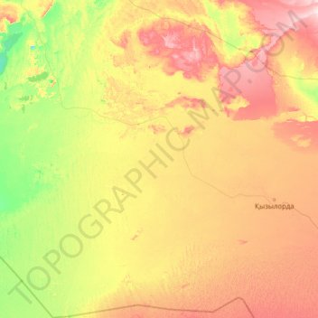
Name: Karmakshy District topographic map, elevation, terrain.
Location: Karmakshy District, Kyzylorda Region, 120500, Kazakhstan (43.50540 61.92799 47.03127 64.46855)
Average elevation: 105 m
Minimum elevation: 37 m
Maximum elevation: 305 m
Other topographic maps
Click on a map to view its topography, its elevation and its terrain.