
Dexter topographic map
Interactive map
Click on the map to display elevation.
About this map
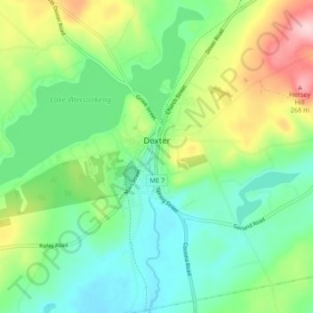
Name: Dexter topographic map, elevation, terrain.
Location: Dexter, Penobscot County, Maine, 04930, United States (44.99200 -69.32531 45.05003 -69.26794)
Average elevation: 146 m
Minimum elevation: 81 m
Maximum elevation: 285 m