
Dunlop Lake topographic map
Interactive map
Click on the map to display elevation.
About this map
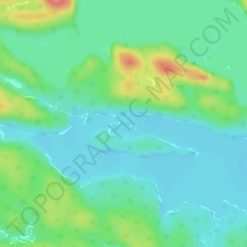
Name: Dunlop Lake topographic map, elevation, terrain.
Average elevation: 379 m
Minimum elevation: 356 m
Maximum elevation: 442 m
Other topographic maps
Click on a map to view its topography, its elevation and its terrain.
Serpent River
Canada > Ontario > Elliot Lake
Serpent River, Elliot Lake, Algoma District, Northeastern Ontario, Ontario, Canada
Average elevation: 380 m
Mount Dufour
Canada > Ontario > Elliot Lake
Mount Dufour, Elliot Lake, Algoma District, Northeastern Ontario, Ontario, P5A 2T1, Canada
Average elevation: 348 m