
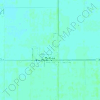
Mud Lake topographic map
Interactive map
Click on the map to display elevation.
About this map
Name: Mud Lake topographic map, elevation, terrain.
Location: Mud Lake, Jefferson County, Idaho, United States (43.83950 -112.48601 43.84853 -112.47104)
Average elevation: 1,460 m
Minimum elevation: 1,457 m
Maximum elevation: 1,462 m