
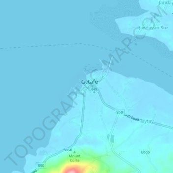
Pandanon topographic map
Interactive map
Click on the map to display elevation.
About this map
Name: Pandanon topographic map, elevation, terrain.
Location: Pandanon, Bohol, Central Visayas, Philippines (10.12852 124.13286 10.16852 124.17286)
Average elevation: 4 m
Minimum elevation: -5 m
Maximum elevation: 126 m