
Clearwater topographic map
Interactive map
Click on the map to display elevation.
About this map
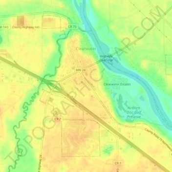
Name: Clearwater topographic map, elevation, terrain.
Location: Clearwater, Wright County, Minnesota, United States (45.39834 -94.06178 45.42584 -94.01428)
Average elevation: 300 m
Minimum elevation: 280 m
Maximum elevation: 310 m