
Cuaming Island topographic map
Interactive map
Click on the map to display elevation.
About this map
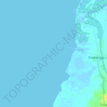
Name: Cuaming Island topographic map, elevation, terrain.
Location: Cuaming Island, Bohol, Central Visayas, Philippines (10.01333 124.03000 10.05333 124.07000)
Average elevation: 1 m
Minimum elevation: -5 m
Maximum elevation: 18 m