
Outlook topographic map
Interactive map
Click on the map to display elevation.
About this map
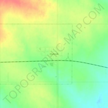
Name: Outlook topographic map, elevation, terrain.
Location: Outlook, Sheridan County, Montana, United States (48.88119 -104.79890 48.89627 -104.77125)
Average elevation: 716 m
Minimum elevation: 690 m
Maximum elevation: 743 m