
Echo topographic map
Interactive map
Click on the map to display elevation.
About this map
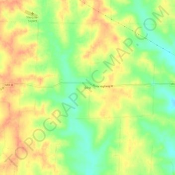
Name: Echo topographic map, elevation, terrain.
Location: Echo, Chariton County, Missouri, 65621, United States (39.57808 -92.86853 39.61808 -92.82853)
Average elevation: 234 m
Minimum elevation: 209 m
Maximum elevation: 253 m